


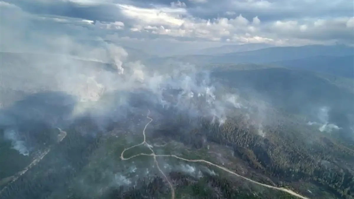
Ainslie Creek Restriction Spans Two Fire Centres Until Sept. 15
An access restriction around the Ainslie Creek wildfire is scheduled to remain in place until noon Pacific time on Sept. 15, as BC Wildfire Service continues suppression operations in the area east of the Fraser River near Boston Bar.
The restriction took effect Aug. 31 and covers Crown land spanning portions of the Coastal and Kamloops fire centres. BC Wildfire Service says the measure is intended to protect the public and wildfire responders, while reducing interference with suppression work.
The affected area lies between the Trans-Canada Highway, the Fraser River, the Cascades Forest District boundary and the Nicola River and associated road corridors. The agency has published a detailed boundary description and map with its area-restriction bulletin.
People are generally prohibited from entering or remaining in the restricted Crown-land area, although the order includes exceptions. Those include official travel, wildfire-support work, access to certain residences and properties, highway travel, and specified agricultural activities.
For Kamloops-area residents travelling toward Merritt, Hope or the Fraser Canyon, the restriction is a reminder to rely on official information before entering backcountry areas near the fire. The restriction itself allows highway travel; it does not, by itself, establish a highway closure.
The fire is identified as incident V10755 in the BC Wildfire Service incident record. That live record is the agency’s controlling source for the fire’s current classification, mapped size, perimeter and assigned resources.
Earlier emergency notices show the fire has had effects on both sides of the region. The Thompson-Nicola Regional District issued an evacuation alert in July for specified properties in Electoral Areas I and N, including areas west of Spius Creek and near Petit Creek Road and Prospect Creek Forest Service Road. A Fraser Valley Regional District alert issued that month covered an area south of Hells Gate to Alexandra Bridge and cited several fires, including Ainslie Creek.
Those notices document earlier alert activity and do not establish the current status of evacuation orders or alerts.
Severe low-flow conditions remain part of the broader regional backdrop. A Sept. 1 BC River Forecast Centre report listed the Nicola River at the outlet of Douglas Lake at Drought Level 5, with its seven-day flow recorded as the lowest in the report’s table. The Thompson River near Spences Bridge was listed at Drought Level 3.
Those readings support that the Nicola and Thompson-Okanagan region is experiencing serious dry conditions, but low streamflow data alone does not establish how drought is affecting suppression work or future fire behaviour at Ainslie Creek.